



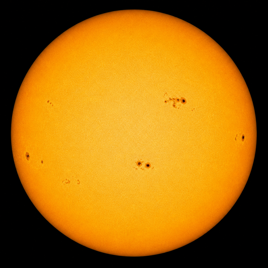
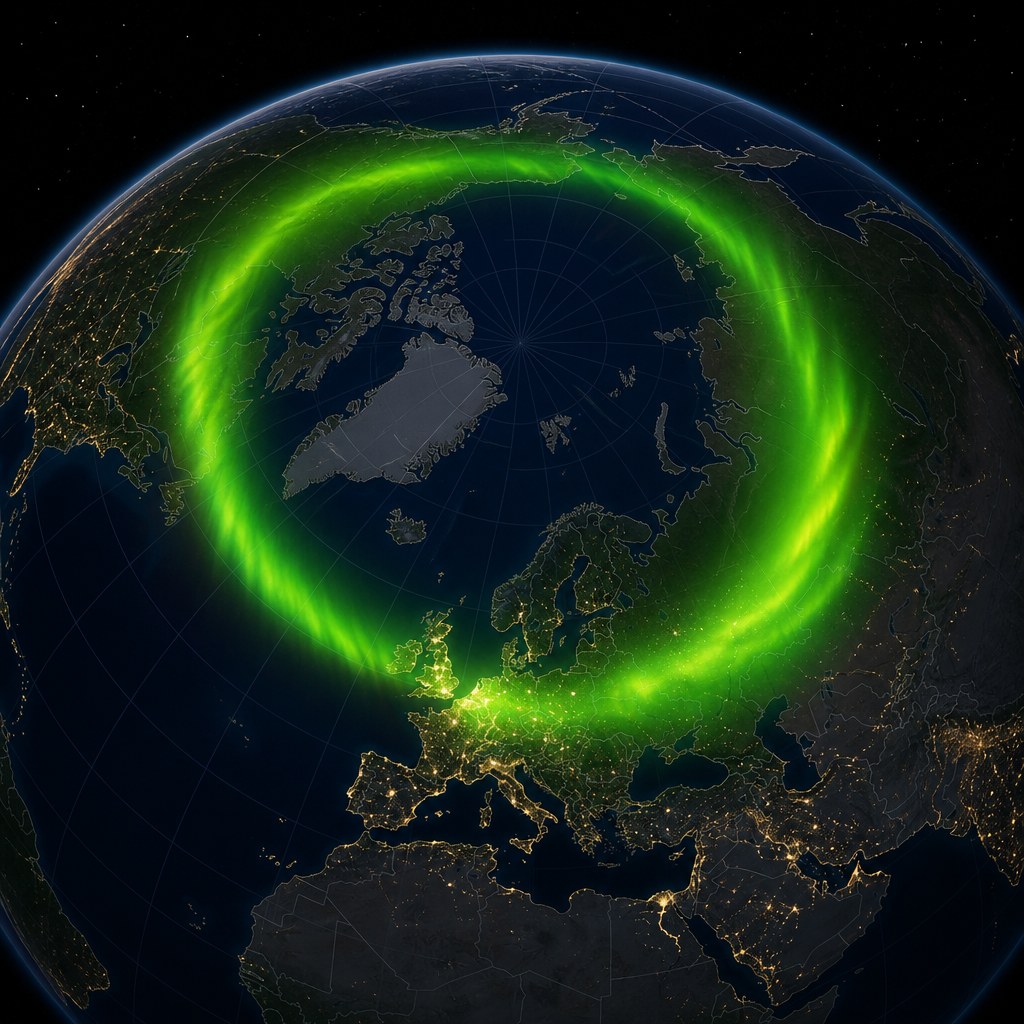
 Current Auroral Oval:


SuperDARN radars watch the ionosphere that blackouts North Atlantic HF
High-frequency radio still carries aircraft and research traffic over the ocean. UK-linked SuperDARN radars see the ionosphere that steals those circuits.
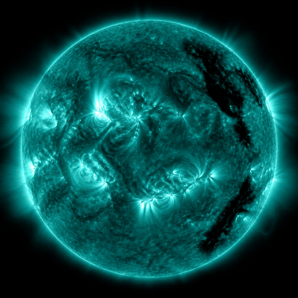
High-frequency radio is supposed to be a museum piece. It is not. Over the North Atlantic, long-haul aircraft still keep HF as part of the communications mix, and research stations still bounce signals off the ionosphere because satellites are busy, expensive or both. When a solar flare ionises the D-region, those circuits can vanish for minutes to hours. Scienception follows the UK connection through SuperDARN — the Super Dual Auroral Radar Network — and through the people who still publish ionospheric maps instead of vibes.
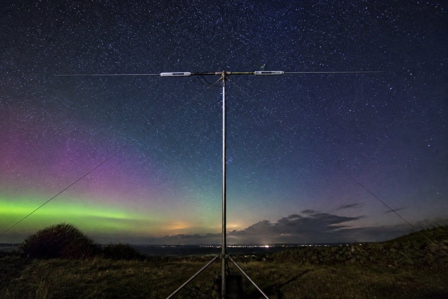
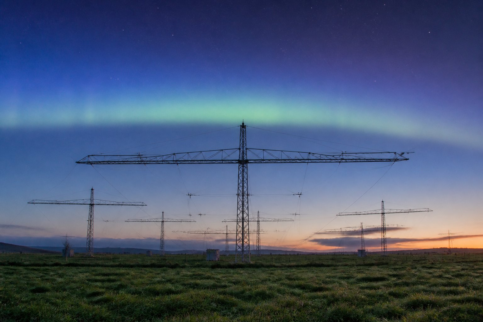
SuperDARN radars scatter HF off ionospheric irregularities and measure Doppler shifts. The pictures they produce look like weather radar for space. UK groups have been inside that collaboration for years, including Antarctic and Arctic vantage points via British Antarctic Survey heritage. The scientific product is convection maps: how plasma is being dragged across the polar cap when the solar wind couples to the magnetosphere.
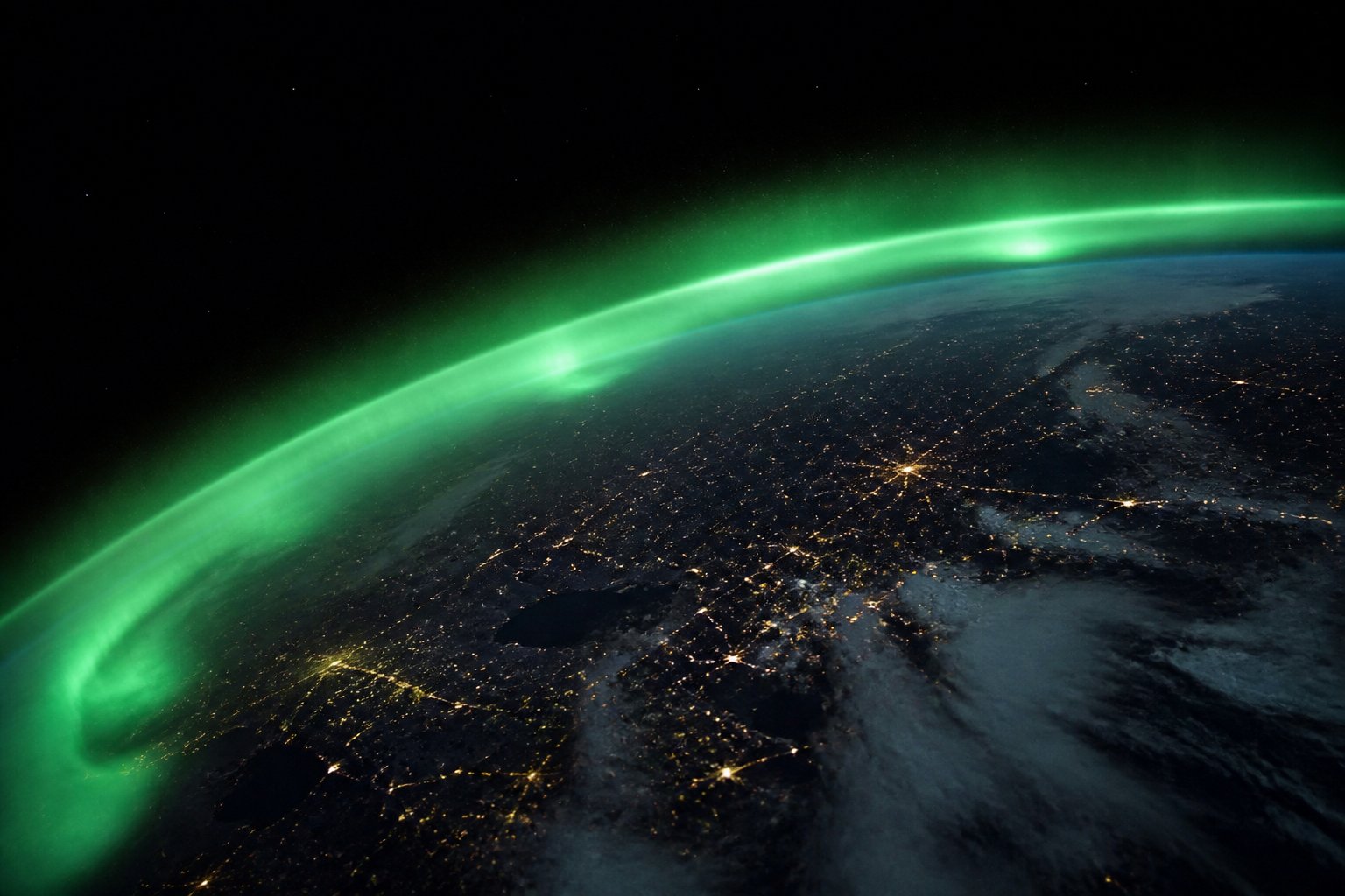
For aviation the immediate nuisance is absorption and maximum-usable-frequency collapse, not the convection map itself. A flare's X-rays arrive in eight minutes and can shut down the sunlit ionosphere's HF paths. A geomagnetic storm then rearranges the nightside. Dispatchers who grew up on satellite voice still need a plan for the ocean. Space-weather guidance is that plan's quiet appendix.
An old band that still matters
Amateurs notice first. A 14 MHz band that was open to Canada at lunch is dead after an M-class flare. That is a free public sensor network. MOSWOC and SIDC flare alerts are the official version of the same physics. The radar network adds the two-dimensional flow that a single ionosonde cannot see.
There is a research argument about coverage. The North Atlantic is not uniformly instrumented. Gaps in radar fields of view become gaps in understanding storm-time irregularities that also scintillate GNSS. Funding a radar is less photogenic than funding a cubesat, which is why Scienception will keep writing about fences in fields.
When the D-layer soaks up a frequency, no amount of cockpit optimism will bounce the signal to Shannon.
Pilots do not need to become ionospheric physicists. They need procedures that assume HF can fail for a solar reason rather than a hardware reason. Training that mentions 'solar flare' without mentioning D-region absorption is theatre. The correct sentence is: the bottom of the ionosphere became a sponge.
What a radar sees that a pilot cannot
Winter nights and solar maximum are different animals. Polar cap absorption from protons is a third animal. SuperDARN is better at some of these than others. Honesty about which tool works for which failure mode is how you avoid cargo-cult forecasting.
Britain's geographic luck is mixed. We sit far enough north to care and far enough south that many storms are someone else's aurora. The Atlantic tracks, however, are ours. That is the operational hook.
If you teach physics, an HF blackout is a better lesson than another slide of the northern lights. Students can hear the band die on a web receiver in real time. The Sun becomes a laboratory.
Space weather is not only pretty. Sometimes it is silence on a frequency that ships and aircraft still use. The radars are how we watch the silence coming.
Further context for UK readers
Shannon, Prestwick and Gander still sit in the imagination of oceanic control even as datalinks carry more of the load. HF is the stubborn remainder. Space weather is one of the reasons the remainder still has a procedure attached. A flare at local noon over the Atlantic is a different beast from a nightside storm. Training that conflates them produces cargo-cult reroutes.
British Antarctic Survey's radar heritage in the southern hemisphere is the quiet twin of Arctic SuperDARN. Conjugate science needs both. A UK strategy that funds only the pretty northern lights and not the southern radar is a strategy written by a tourism board.
Ionosondes at mid-latitudes, including the UK's historical chain, give vertical profiles SuperDARN cannot. The instruments argue. That argument is the science. A single map from one radar is a sketch.
Amateurs on 7 MHz will tell you the band died before the official flare list updated. They are not always right, but they are a nowcast. A MOSWOC that never looks at a reverse-beacon network is leaving free sensors on the table.
Aircraft HF antennas are not research instruments. They are operational spares. Treating a fade as a maintenance log when it was a D-region event is how you hide space weather in engineering noise.
Spectrum congestion over Europe makes HF uglier independent of the Sun. Do not blame every dead band on a coronal hole. Check the ionosonde. Then blame the hole if it deserves it.
Students can stream a web SDR in Cornwall and watch a fade in class. That is cheaper than a planetarium and closer to the truth of radio.
The North Atlantic will remain a radio desert with occasional oases. Space weather moves the oases. Maps of that motion are worth a radar fence.
How to read this on a UK science desk
What a careful UK reader should actually do with this story is slower than a social feed wants. The live wires are: Shannon Gander tracks, D-region flares, BAS southern radars, reverse beacon nowcasts, ionosondes. If a paragraph does not touch one of those wires, it is probably colour. Colour is allowed. It is not a substitute for a product page at the Met Office, BGS, UKRI, ESA, the UK Space Agency, NATS, the CAA, Ofcom, UKAEA, NHS England or the laboratory named in the sources list. Scienception prints editorial snapshots on the left-hand rail so the homepage feels like a conditions desk in the old space-weather style. Those figures are not a live operational feed. If you are making a decision about aviation, the grid, a licence, a clinical pathway or a launch commit, leave this tab and go to the authority, then come back for the argument.
British geography keeps deciding supposedly global science. Magnetic latitude, Atlantic cloud, a coal switchyard, a dark-sky park, a Clyde clean room, a synchrotron on a former airfield, an ice-shelf station, a parish lighting rule: these are not decorations on superdarn hf north atlantic. They decide whether a result is operational for this country or merely interesting. A model that cannot be checked against a UK sensor is tourism. A policy that cannot be walked to a protocol is speech. We will keep dragging the global noun back to a named place.
There is a records problem in the background of this beat. Time series die when programmes end, when students leave, and when a dashboard is funded instead of a person who knows a sensor's quirks. The cheap way to look modern is a new visualisation. The expensive way that works is to keep the ugly log alive. Magnetograms, ionosondes, light curves, beam-test files, trusted research environments, licence PDFs and anomaly reports are how a democracy stays in the measurement business when the solar cycle, the debris environment or a carbon budget stops being polite.
The public conversation still swings between panic and shrug. Hold two true sentences at once. A minor geomagnetic watch is not a national blackout. A stored tonne of carbon is not a groundbreaking party. A nova that has not erupted is not a failure. A satellite train is not an invasion. Scienception will keep writing as if readers can cope with a caveat, a map, a table and a link. That is the minimum adult form of UK science news, and it is the house style for this article as much as for the conditions rail.
If you work in a school, use the primary links as a single homework: open the Met Office or BGS or ESA page, write down what the official product actually says, and compare it with our kicker. If you work in a control room, steal only the method: name the sensor, name the failure mode, name the British place that would feel it. If you only wanted a picture, look at the figures, then look at the sources. The figures are illustrations. The sources are how you check us. Corrections remain info@scienception.com at Scienception LTD.
Related on Scienception: BGS magnetometers map the quiet currents that stress the grid · GNSS scintillation is now a NATS problem, not a hobbyist complaint · Skynet's next solar storm will be a resilience exam, not a parade

