



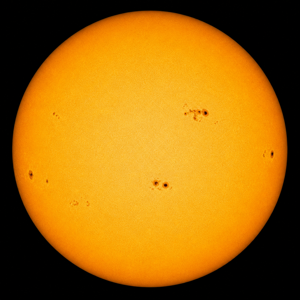
 Current Auroral Oval:
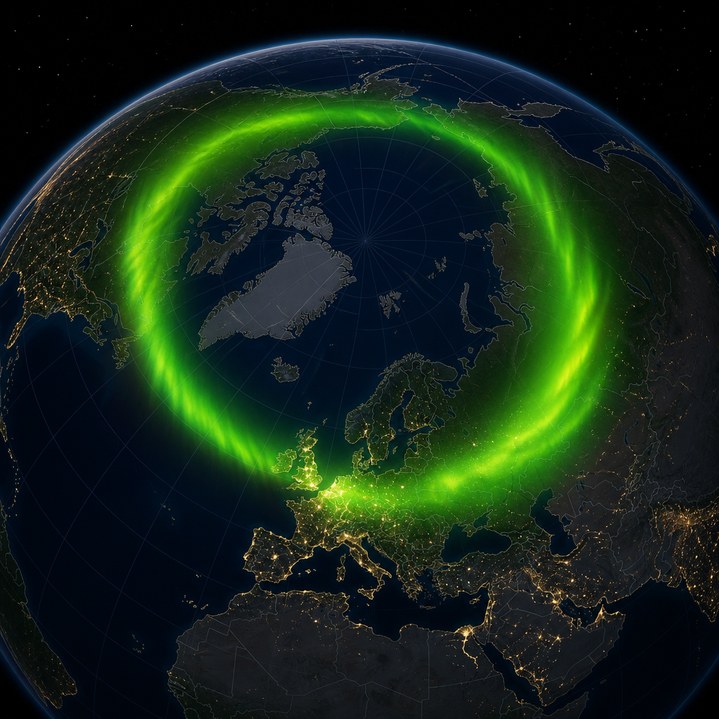
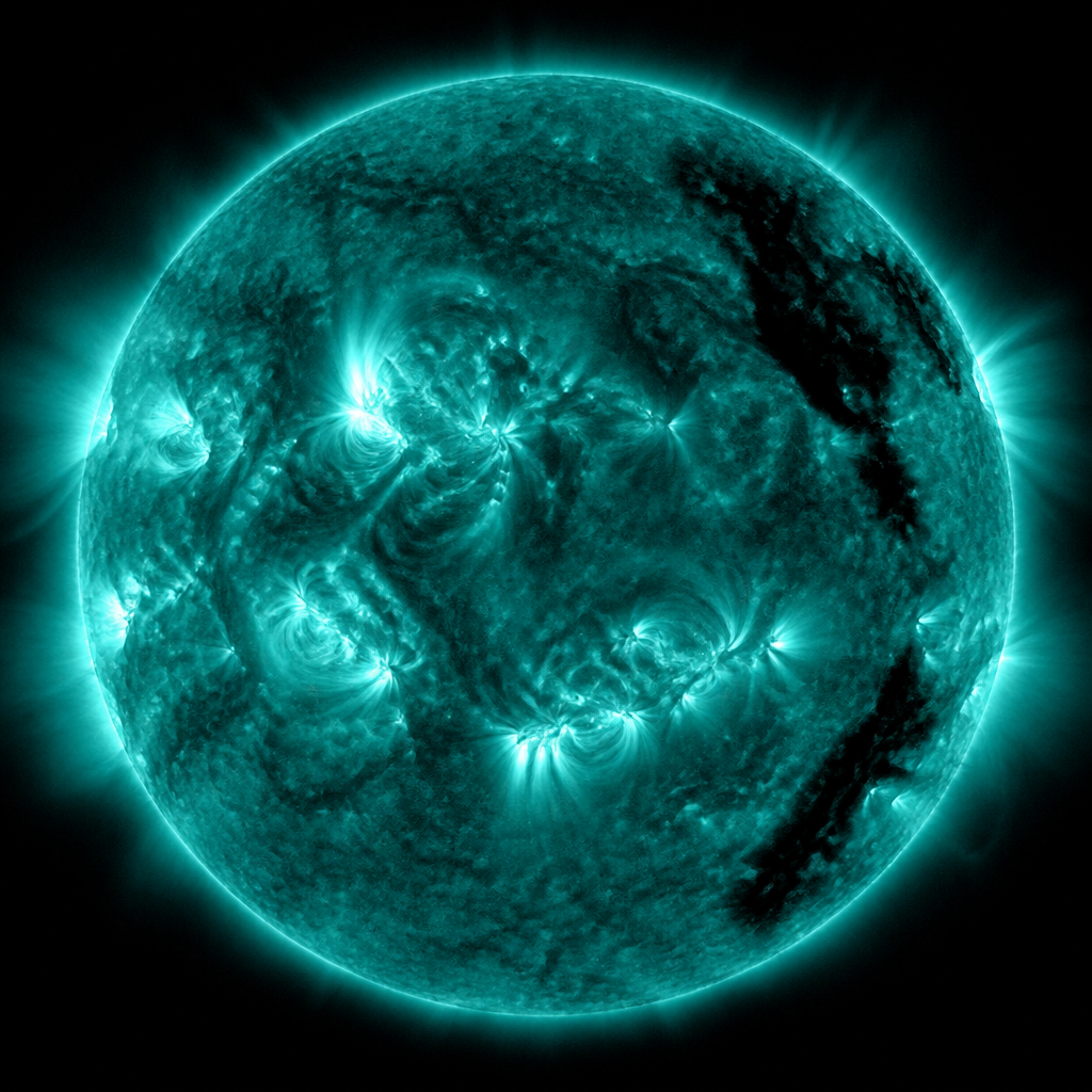


Saxavord's latitude is a launch asset and a space-weather classroom
A vertical launch site on Unst sits under a livelier ionosphere than Cornwall. That is a feature for polar orbits and a fact of operations.
Unst is not a metaphor. It is an island at the top of Britain with a proposed and developing vertical launch site, Saxavord, aimed at small satellites into polar and Sun-synchronous orbits. The physics of those orbits likes high-latitude downrange water. The physics of the ionosphere also likes high latitudes, in a different mood. Scienception is not going to cover Shetland launches as if they happened in a vacuum.
Polar orbits serve Earth observation, weather, and some communications. They are the workhorse of the cubesat economy. A UK path to those orbits is a sovereignty story and a science story. The sovereignty version gets the ministerial quotes. The science version asks what instruments fly and whether the data are open.
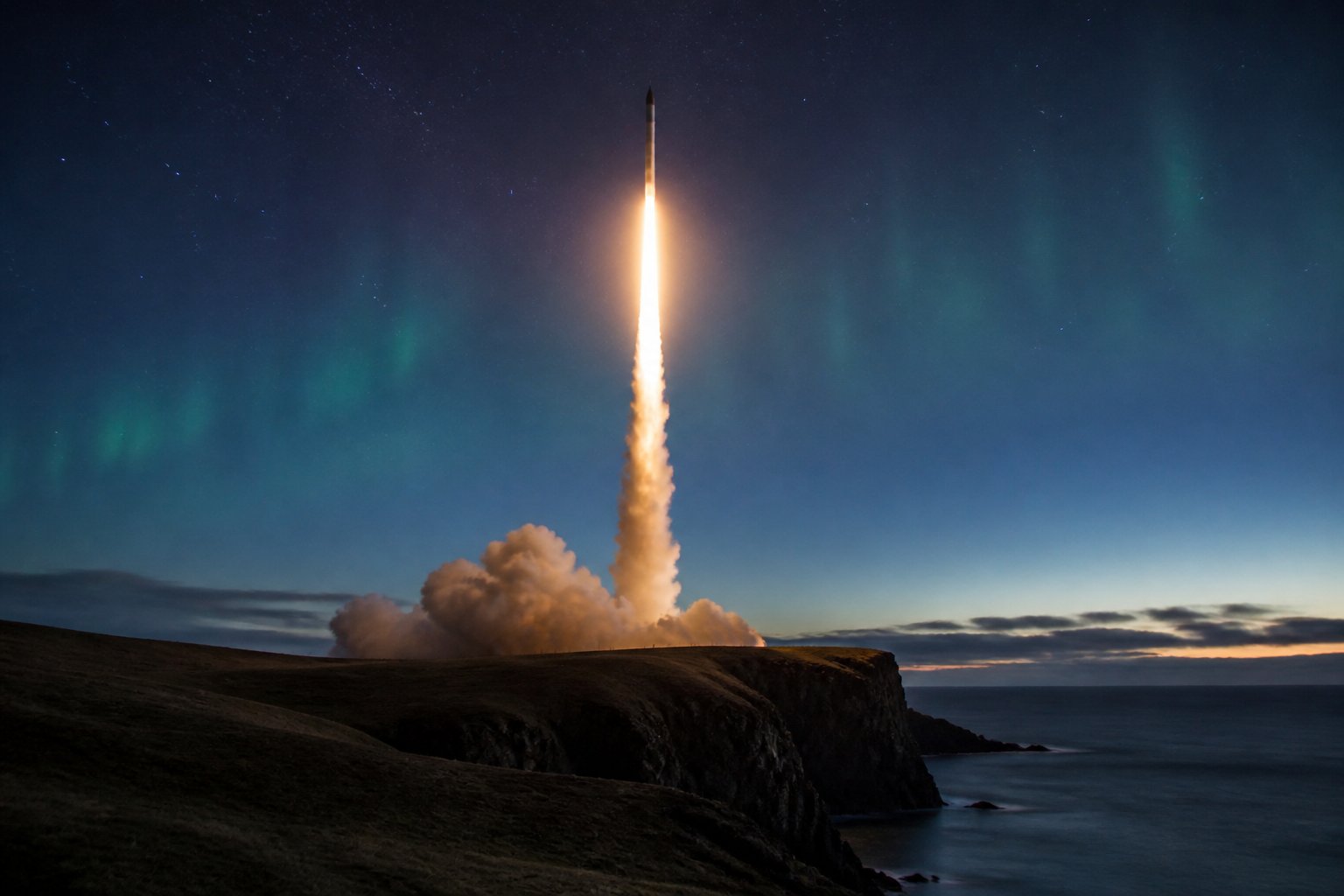
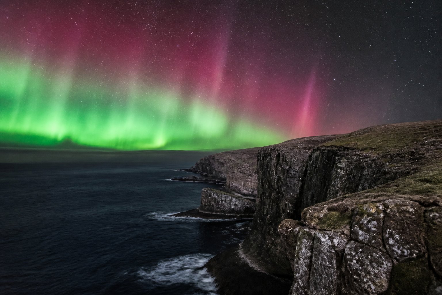
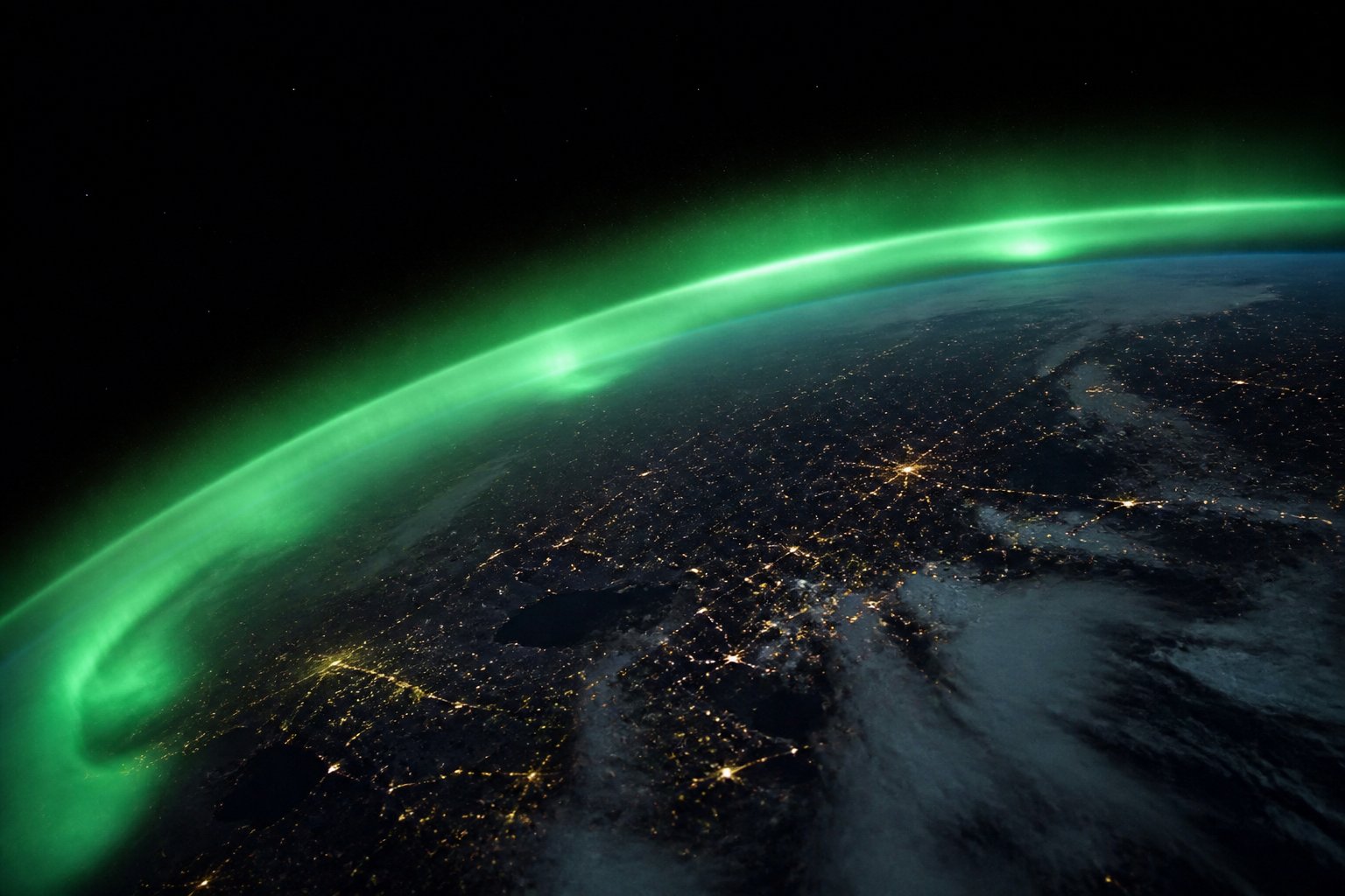
Operations at this latitude must plan for GNSS scintillation, HF disruption, and, yes, aurora that is actually visible to the night crew. That is not a tourism bonus. It is a lighting and communications condition. AuroraWatch yellow should mean something in a procedure, even if the rocket does not care about pretty curtains.
Why Unst looks at polar orbits
Community consent in Shetland is its own literature. Fisheries, birds, and the right not to become a mainland joke all sit in the same public meetings. A science desk that ignores those meetings is doing PR.
Range safety over water is the ethical core. Trajectories that drop stages in the sea need models, not vibes. Space weather enters those models when communications and navigation degrade. The chain is practical.
If you launch from 60 degrees north, you do not get to treat space weather as a London abstraction.
If Saxavord flies regularly, UK students will have a polar-orbit option that does not begin with a booking to California. That would change university mission design more than another strategy document.
Aurora in the NOTAM
Compare Lerwick's magnetometer heritage with a launch pad a little further north and you have a teaching landscape unique in the UK: geomagnetism and getting off the planet in the same council.
Cloud, wind shear and Atlantic swell will scrub more launches than a G1 storm. Keep the risks in proportion. Then keep space weather in the manual anyway.
Scienception will report pads, not slogans. A successful Shetland launch of a climate or auroral-research cubesat would be the right kind of national spectacle: brief, loud, and then a stream of data.
Latitude is destiny for both aurora and polar orbits. Britain finally noticed. The noticing has to survive the first scrubbed campaign.
Further context for UK readers
Unst's people have hosted radar and military stories before. They are not extras in a space drama. Hire locally and mean it. Otherwise the latitude is just extraction with a countdown.
Sun-synchronous orbits love a northward hole in the map. That is geography as a launch vehicle. It is also why the ionosphere overhead is not a London ionosphere. Train the range accordingly.
Birds and peat are not footnotes. Environmental statements that treat them as footnotes will be torn in public, correctly.
A Shetland magnetometer plus a pad is a classroom you could not invent in Berkshire. Bring students. Let them feel the wind that scrubs rockets and the sky that makes ovals.
If polar cubesats for auroral research fly from Unst, the poetry writes itself. Poetry is not a licence. Data rights in the licence are.
Supply boats and weather windows will dominate the first years. Space weather will be a smaller character. Keep it in the manual anyway so it does not become a surprise character.
Saxavord versus Cornwall is not a civil war. It is a portfolio. Journalists who pick a favourite island are doing sport. Scienception will not.
High latitude is a resource. Resources get argued over. Show up to the argument with numbers.
How to read this on a UK science desk
What a careful UK reader should actually do with this story is slower than a social feed wants. The live wires are: Unst consent, polar SSO, peat and birds, Lerwick classroom, range weather. If a paragraph does not touch one of those wires, it is probably colour. Colour is allowed. It is not a substitute for a product page at the Met Office, BGS, UKRI, ESA, the UK Space Agency, NATS, the CAA, Ofcom, UKAEA, NHS England or the laboratory named in the sources list. Scienception prints editorial snapshots on the left-hand rail so the homepage feels like a conditions desk in the old space-weather style. Those figures are not a live operational feed. If you are making a decision about aviation, the grid, a licence, a clinical pathway or a launch commit, leave this tab and go to the authority, then come back for the argument.
British geography keeps deciding supposedly global science. Magnetic latitude, Atlantic cloud, a coal switchyard, a dark-sky park, a Clyde clean room, a synchrotron on a former airfield, an ice-shelf station, a parish lighting rule: these are not decorations on saxavord shetland space weather. They decide whether a result is operational for this country or merely interesting. A model that cannot be checked against a UK sensor is tourism. A policy that cannot be walked to a protocol is speech. We will keep dragging the global noun back to a named place.
There is a records problem in the background of this beat. Time series die when programmes end, when students leave, and when a dashboard is funded instead of a person who knows a sensor's quirks. The cheap way to look modern is a new visualisation. The expensive way that works is to keep the ugly log alive. Magnetograms, ionosondes, light curves, beam-test files, trusted research environments, licence PDFs and anomaly reports are how a democracy stays in the measurement business when the solar cycle, the debris environment or a carbon budget stops being polite.
The public conversation still swings between panic and shrug. Hold two true sentences at once. A minor geomagnetic watch is not a national blackout. A stored tonne of carbon is not a groundbreaking party. A nova that has not erupted is not a failure. A satellite train is not an invasion. Scienception will keep writing as if readers can cope with a caveat, a map, a table and a link. That is the minimum adult form of UK science news, and it is the house style for this article as much as for the conditions rail.
If you work in a school, use the primary links as a single homework: open the Met Office or BGS or ESA page, write down what the official product actually says, and compare it with our kicker. If you work in a control room, steal only the method: name the sensor, name the failure mode, name the British place that would feel it. If you only wanted a picture, look at the figures, then look at the sources. The figures are illustrations. The sources are how you check us. Corrections remain info@scienception.com at Scienception LTD.
Related on Scienception: Spaceport Cornwall is still a science story about horizontal payloads, not a postcard of a runway · Glasgow's smallsat factories now sell radiation hardness as a feature · SSTL's Earth-observation buses still have to live in a rude plasma

